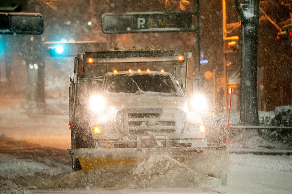
Ice Storm Warning in Effect for Western Kentucky and Southern Indiana
During his forecast Wednesday morning, Eyewitness News Meteorologist Ron Rhodes said about the approaching winter storm, "It's not going to be as bad as 2009, but it's not going to be good." Turns out, Ron was right. This doesn't look particularly good.
Overnight, the National Weather Service changed our Winter Storm Warning to an Ice Storm Warning and it officially goes into effect this evening at 6pm CST and will continue through 6am Friday, February 4th. Here are the areas included in the warning area. The areas marked in purple are those under the Ice Storm Warning. The surrounding areas (indicated in pink) remain under a Winter Storm Warning.
Anyone who lived in the tristate during that crippling 2009 ice storm is likely having immediate flashbacks. Power outages. Nearly impossible travel. Utility crews working for weeks, in some areas and cases, to restore electricity and heat. Our fingers are crossed that Ron's right and this storm won't be as bad as that one. But one thing is for certain, portions of the tristate could see significant ice accumulations and those accumulations could push 3/4".
Here are the details of the Ice Storm Warning issued overnight.
According to the National Weather Service:
Some of the affected counties have moved from a winter storm warning to an ice storm warning as the predominant concern will be freezing rain. The time of greatest ice accumulation across the warning area is expected to be between 6 am and 6 pm CST on Thursday. The majority of the area is likely to see at least one half inch of ice accumulation.
Significant icing expected. Total snow accumulations of up to one inch and ice accumulations of one half to three quarters of an inch.
Expect power outages and tree damage due to the ice. Travel could be impossible. The hazardous conditions could impact the morning or evening commute.
Travel is strongly discouraged. If you must travel, keep an extra flashlight, food and water in your vehicle in case of an emergency. Prepare for possible power outages.
Of course, to stay up-to-date on the developing weather situation, you can download our mobile app for the latest breaking news and weather updates.

TIPS: Here's how you can prepare for power outages
LOOK: The most expensive weather and climate disasters in recent decades
More From My WJLT 105.3


