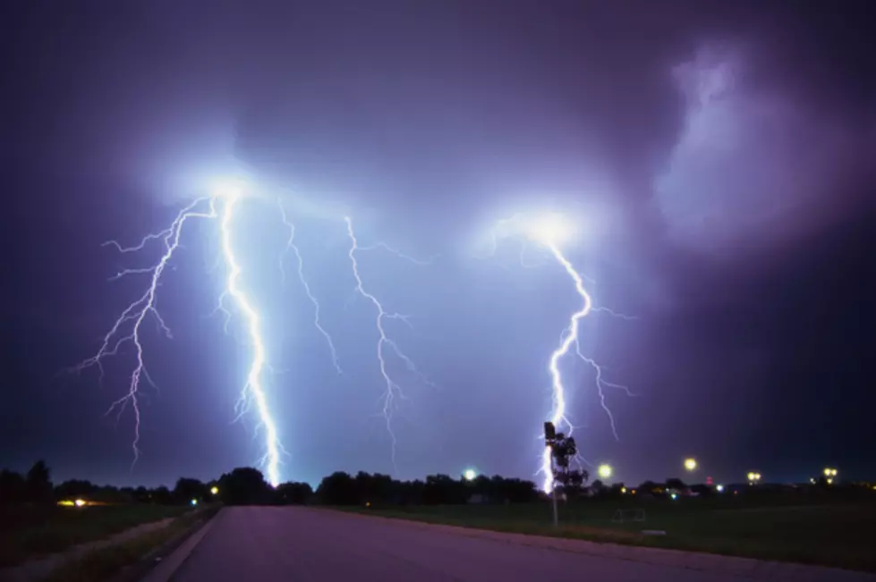
NWS Warns of Severe Thunderstorms and Slight/Marginal Risk of Tornadoes this Afternoon
It's 60° and drizzly out. Cue the tornadoes! The National Weather Service posted today that, "There is some increasing potential for severe thunderstorms, generally after 5 PM, especially over portions of southeast MO, western KY and the southern tip of IL. A tornado or two cannot be ruled out."
Stay up-to-date with the latest in watches, warnings, closings, and more by downloading our app and turning on notifications.

This Hazardous Weather Outlook is for portions of southern Illinois, southwest Indiana, western Kentucky, and southeast Missouri.
Isolated to locally scattered thunderstorms are forecast today and tonight over the outlook area.
A few storms early this morning may produce very localized flooding of low lying and poorly drained areas in southern sections of southeast Missouri. The threat of heavier rainfall will shift to parts of the Purchase area and southern sections of the Pennyrile region of west Kentucky late this afternoon and overnight.
A few storms may become strong to severe over the Purchase Area and southern half of the Pennyrile region of west Kentucky late this afternoon and this evening. Large Hail will be the primary hazard. Secondary hazards will be isolated strong wind gusts, as well as frequent lightning.
The Storm Prediction Center has a Slight Risk of Severe Thunderstorms today and tonight, along and south of a line from Fulton and Murray to near Fort Campbell Kentucky. Surrounding this Slight Risk area is a Marginal Risk for Severe Thunderstorms, stretching along and south of a line from Poplar Bluff Missouri,
onward to Paducah and Greenville Kentucky.
More From My WJLT 105.3
![Diamond Lake Campground and Resort Announces New Splash Pad [Video]](http://townsquare.media/site/76/files/2020/03/A.jpg?w=980&q=75)