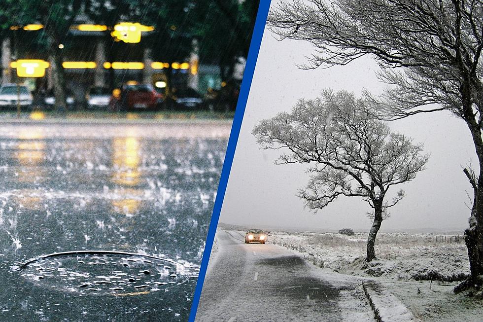
National Weather Service Updates Two Storm Systems Impacting IL, IN & KY
So far, 2024 has been very kind to us as far as the weather goes. The National Weather Service just released some information about two storm systems that we need to prepare for.
Impactful Snow Not Expected
If you do not like to drive in the snow, then you might think that any amount is impactful to you. The National Weather Service actually defines it as heavy snow that accumulates very quickly. The general guideline is four inches in twelve hours or less, or six inches falling in a twenty-four-hour period or less.
Friday, January 2024 - Tuesday, January 9 2024
This weekend we can expect rain and maybe, just maybe a little bit of snow in the Evansville, Indiana area. But Monday and Tuesday look slightly different.
Friday night into Saturday. This will mostly just be rain for this area, but there is still a small possibility (about 10%) of 1 inch or so of snow in places like Mt. Vernon, IL, and Evansville, IN The forecast though is for all rain and lows around 33 or 34.
Monday into Tuesday. A strong low pressure system will move northeast across the area. This system has been very consistent in our models for several days on the track and intensity so we feel more confident than normal for something this far out. It will be windy. Picture #2 shows some of the gust potential with 45-55 mph gusts. With leaves off most trees it would potentially be less impactful but we will have to watch it because winds that strong could still cause some trouble. Everything for now suggests we will be much too stable for thunderstorms/severe/tornadoes.

How to Keep Your Pets Safe in the Snow/Freezing Weather
Amazing and Intriguing Weather Folklore
More From My WJLT 105.3


