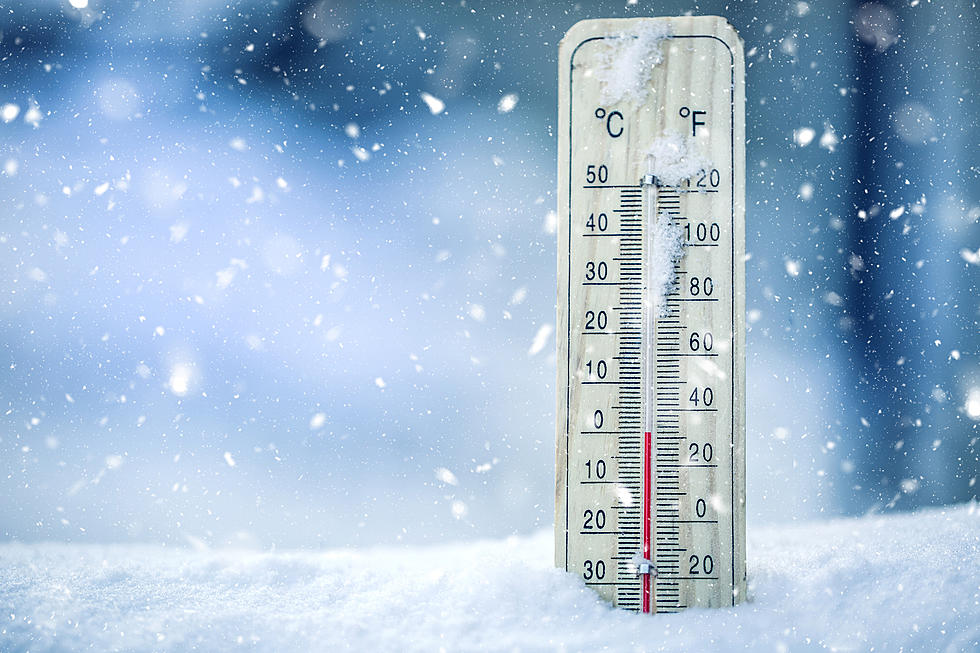
3 – 4 Inches of Snow Possible in the Tri-State Sunday
The first day of Spring is March 20th, but Old Man Winter isn't quite ready to loosen his grip on the Tri-State just yet with the National Weather Service (NWS) forecasting the possibility that portions of the area could see three to four inches of snow on Sunday.
According to a Hazardous Weather Outlook released by the NWS Thursday morning:
A winter storm system may produce accumulating snows and impact
travel Saturday night and Sunday. Mixed wintry precipitation is
possible as well, before the changeover to all snow.Wind chill readings Sunday night into Monday morning will drop into
the zero to 5 below zero range over most of the region. Similar wind
chills will be possible over portions of southern Illinois and
southwestern Indiana Monday night into Tuesday morning.
The majority of the snow will stay around and north of the Ohio River with southern Indiana, southern Illinois, and the northern edge of western Kentucky seeing the bulk of accumulations, while the southern portion of the Tri-State will see less the farther south you are.
Keep in mind, this is still a few days away, and as we know, weather in the Tri-State can be wildly unpredictable, so things certainly could change between now and then.
[Source: National Weather Service]
More From My WJLT 105.3


