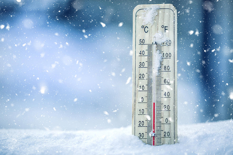
Winter Storm Warning Issued for Several Southern Indiana Counties
The winter hits just keep coming for the Tri-State.
The National Weather Service in Paducah has placed the following counties under a Winter Storm Warning until 6:00 p.m. Thursday, February 11th (2021).
- Vanderburgh
- Warrick
- Posey
- Gibson
- Spencer
- Pike

The main threat of the storm is sleet and freezing rain. The NWS says both will be heavy the remainder of the day Wednesday and into Wednesday evening with possible sleet accumulations of up to a half inch, and another tenth of an inch of ice on top of what we've already received.
This will make travelling on Tri-State roads extremely difficult to navigate, and the NWS strongly encourages all residents to limit travel, or stay off the roads completely.
Here's the full statement:
Winter Storm Warning
URGENT - WINTER WEATHER MESSAGE
National Weather Service Paducah KY
131 PM CST Wed Feb 10 2021
...Prolonged icing event expected Today through Thursday...
.Significant ice accumulations are expected to produce
treacherous, potentially life-threatening travel conditions
through Thursday morning. While ice accumulations are expected to
be higher over parts of West Kentucky, the southern tip of
Illinois, and the Delta region of Southeast Missouri, dangerous
road conditions are anticipated across the entire Quad State.
Layering of sleet on top of freezing rain will heighten hazardous
travel conditions.
INZ081-082-085>088-110345-
/O.UPG.KPAH.WW.Y.0004.000000T0000Z-210212T0000Z/
/O.NEW.KPAH.WS.W.0001.210210T1931Z-210212T0000Z/
Gibson-Pike-Posey-Vanderburgh-Warrick-Spencer-
Including the cities of Fort Branch, Petersburg, Poseyville,
Evansville, Boonville, and Rockport
131 PM CST Wed Feb 10 2021
...WINTER STORM WARNING IN EFFECT UNTIL 6 PM CST THURSDAY...
* WHAT...Heavy mixed precipitation. Sleet accumulations around one
half inch and additional ice accumulations of up to one tenth
inch.
* WHERE...Portions of southwest Indiana.
* WHEN...Until 6 PM CST Thursday, with the majority of the
freezing rain accumulation Wednesday afternoon and the majority
of the sleet accumulation Wednesday evening.
* IMPACTS...Expect dangerous and potentially life-threatening road
conditions. Cold temperatures will keep surfaces frozen long
after precipitation ends. The hazardous conditions could impact
the morning and evening commutes. Some tree damage and power
outages are possible.
PRECAUTIONARY/PREPAREDNESS ACTIONS...
Travel is strongly discouraged as roads are likely to be
treacherous. If you must travel, keep an extra flashlight, food
and water in your vehicle in case of an emergency. Prepare for
possible power outages. Monitor the latest forecasts for updates
on this situation.
[Source: National Weather Service, Paducah, Kentucky]
READ MORE: 10 Must-Have Items To Keep In Your Car This Winter
KEEP READING: 6 Items To Help You Stay Warm This Winter (*As Amazon Associates, we earn on qualifying purchases)
More From My WJLT 105.3