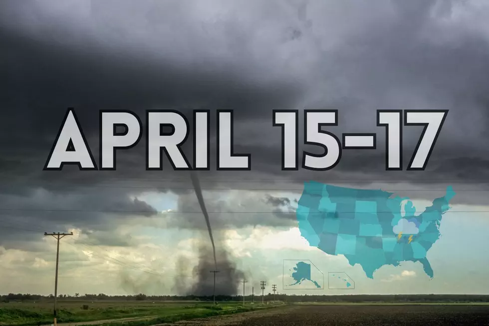
Parts of Indiana, Kentucky, & Illinois at Risk for Tornadoes, Hail, and Damaging Winds in Mid-April Storm
The last time the National Weather Service told us that we were in for bad weather, we experienced a tornado outbreak in the tri-state area. One small one ripped through my neighborhood, destroying trees and buildings. We are still cleaning up the mess.
And looks like April isn't done with us yet. The National Weather Service in Paducah has warned that we might see more bad weather this week.
Above-normal temperatures will remain in place across the Quad State through the middle of the week. Along with the warm temperatures, the chances for showers and thunderstorms will increase Tuesday through Wednesday with strong to severe storms possible! Strong to severe thunderstorms are possible through Wednesday. Isolated severe storms are possible this afternoon and evening across northern portions of the area in close-proximity to a warm frontal boundary. A greater risk of severe weather arrives late Tuesday, Tuesday night, and Wednesday with the approach and passage of a cold front. Stay tuned as we fine-tune the details over the next day or two.
The NWS posted this in a Severe Weather Statement:
Monday Night: A few thunderstorms may form along the Interstate 64 corridor and slightly south late this afternoon into tonight. The strongest storms may briefly become capable of damaging wind gusts and large hail.
Tuesday Night: Thunderstorms will be possible once again Tuesday night into Wednesday morning. Isolated tornadoes, damaging wind, and large hail may become a threat with these storms.
Uggg! I'm over the severe weather! But I saw an interesting fact from Daviess County Emergency Management. They stated in a Facebook post a couple of weeks ago.
Interesting fact for today-We get asked often why we "hype" weather events that may be on the lower end of the severe spectrum. SImple answer is weather changes all the time, as we already know. But the real reason is found in the below numbers:
Since 1995 (EF-3 Tornadoes)
-3 Were in a high risk event
-4 Were in a moderate risk event
-17 EF 3 Tornadoes were in a LOW risk event
To add, fatalities have increased 20% during overnight storms. So this is why our messaging is so strong anytime a TOR threat is near.
Just a fun fact.
Source: US National Weather Service Paducah Kentucky
Read More: Kids Today Have No Idea How Intense Gym Class Was in the 80s
Get Prepared for the Storm
Get the App
First up, download our app. It's free and we send out alerts when we are under tornado watches and warnings. We also stream Eyewitness News.

Have an Emergency Kit
Here's what ready.gov recommends having in a kit.
- Water (one gallon per person per day for several days, for drinking and sanitation)
- Food (at least a several-day supply of non-perishable food)
- Battery-powered or hand crank radio and a NOAA Weather Radio with tone alert
- Flashlight
- First aid kit
- Extra batteries
- Whistle (to signal for help)
- Dust mask (to help filter contaminated air)
- Plastic sheeting and duct tape (to shelter in place)
- Moist towelettes, garbage bags and plastic ties (for personal sanitation)
- Wrench or pliers (to turn off utilities)
- Manual can opener (for food)
- Local maps
- Cell phone with chargers and a backup battery
Additional Emergency Supplies
Consider adding the following items to your emergency supply kit based on your individual needs:
- Soap, hand sanitizer and disinfecting wipes to disinfect surfaces
- Prescription medications. About half of all Americans take a prescription medicine every day. An emergency can make it difficult for them to refill their prescription or to find an open pharmacy. Organize and protect your prescriptions, over-the-counter drugs, and vitamins to prepare for an emergency.
- Non-prescription medications such as pain relievers, anti-diarrhea medication, antacids or laxatives
- Prescription eyeglasses and contact lens solution
- Infant formula, bottles, diapers, wipes and diaper rash cream
- Pet food and extra water for your pet
- Cash or traveler's checks
- Important family documents such as copies of insurance policies, identification and bank account records saved electronically or in a waterproof, portable container
- Sleeping bag or warm blanket for each person
- Complete change of clothing appropriate for your climate and sturdy shoes
- Fire extinguisher
- Matches in a waterproof container
- Feminine supplies and personal hygiene items
- Mess kits, paper cups, plates, paper towels and plastic utensils
- Paper and pencil
- Books, games, puzzles or other activities for children
Unraveling the Whirlwind: 15 Essential Answers to Questions You've Asked About Tornadoes
Gallery Credit: Ashley S.
See Photos of Tombstone Junction An Abandoned Kentucky Amusement Park
Gallery Credit: Melissa Awesome