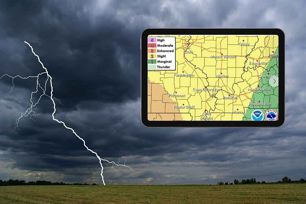
Indiana, Illinois, & Kentucky Prepare for Hazardous Weather Overnight
The National Weather Service (NWS) has issued a Slight Risk for severe thunderstorms later today and overnight. This could mean a sleepless night for a lot of people in the Tri-State.
Here's What to Expect:
- Timing: Things are expected to heat up this afternoon, with storms developing. The window for severe weather stretches from late afternoon to around 1 am Friday (3/15/24) morning. Keep an eye out for:
- Hail: Think grapefruit-sized! The NWS is forecasting hail up to 2 inches in diameter, so be sure to secure loose outdoor objects.
- Wind: Winds could gust up to 70 mph, causing potential damage to trees and power lines.
- Tornadoes: A few tornadoes are also possible within the line of thunderstorms.
US National Weather Service Paducah Kentucky
Right now, the main severe thunderstorm threat looks to be from 4 PM today through 1 AM Friday morning. There may also be a few non-severe thunderstorms this morning (mainly between 8 AM and 11 AM) along and north of the Interstate 64 corridor in southern Illinois and southwest Indiana.
Stay Severe Weather-Ready
US National Weather Service Paducah Kentucky
Here are some essential steps to take to stay safe during this severe weather event:

Get our free mobile app
What City is the Lightning Capital of Your State?
Every year Vaisala, a data measurement instrument company, releases a report on lightning strikes worldwide and in the United States. As part of their 2022 analysis, they named the city in each state that receives the most strikes. Here's Vaisala's Lightning Capital for each of the 50 states.
Gallery Credit: Scott Clow
NWS 2024 Severe Weather Preparedness Guide
Gallery Credit: Mary K
More From My WJLT 105.3


