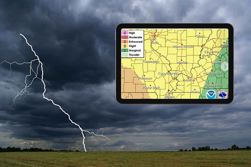
Freeze Warning Issued for Western Kentucky and Southern Illinois
There's a running joke here in the Tri-State that says if you don't like the weather, wait a week, or a day, or five minutes. The past two days have been a prime example with temps in the 70s and severe weather on Tuesday, followed by sharp drop in the temperature which has led the National Weather Service in Paducah to issue a freeze warning for all of western Kentucky and parts of southern Illinois Wednesday night into Thursday morning.
According to the warning, issued Wednesday morning just after 4:00 a.m., temperatures in those areas of the Tri-State will drop to "around 30 degrees around
or shortly after midnight, then remain nearly steady through
sunrise." This will cause "widespread frost...much of the night."
The temperature drop brings with it the possibility of killing crops and "other sensative vegetation."
The full statement, which includes the counties affected reads as follows:
Freeze Warning
URGENT - WEATHER MESSAGE
National Weather Service Paducah KY
408 AM CDT Wed Apr 4 2018
...Widespread frost and freezing temperatures tonight...
.Cold high pressure will move east across the lower Ohio Valley
tonight, bringing sub-freezing temperatures.
ILZ088>094-KYZ001>022-MOZ086-087-100-107>112-114-042100-
/O.NEW.KPAH.FZ.W.0001.180405T0500Z-180405T1300Z/
Union-Johnson-Pope-Hardin-Alexander-Pulaski-Massac-Fulton-Hickman-
Carlisle-Ballard-McCracken-Graves-Livingston-Marshall-Calloway-
Crittenden-Lyon-Trigg-Caldwell-Union KY-Webster-Hopkins-Christian-
Henderson-Daviess-McLean-Muhlenberg-Todd-Bollinger-Cape Girardeau-
Wayne MO-Carter-Ripley-Butler-Stoddard-Scott-Mississippi-
New Madrid-
Including the cities of Jonesboro, Vienna, Golconda,
Elizabethtown, Cairo, Mound City, Metropolis, Hickman, Clinton,
Bardwell, Wickliffe, Paducah, Mayfield, Smithland, Benton,
Murray, Marion, Eddyville, Cadiz, Princeton, Morganfield, Dixon,
Madisonville, Hopkinsville, Henderson, Owensboro, Calhoun,
Greenville, Elkton, Marble Hill, Cape Girardeau, Jackson,
Piedmont, Van Buren, Doniphan, Poplar Bluff, Bloomfield,
Sikeston, Charleston, and New Madrid
408 AM CDT Wed Apr 4 2018
...FREEZE WARNING IN EFFECT FROM MIDNIGHT TONIGHT TO 8 AM CDT
THURSDAY...
The National Weather Service in Paducah has issued a Freeze
Warning, which is in effect from midnight tonight to 8 AM CDT
Thursday.
* TEMPERATURE...Temperatures will fall to around 30 degrees around
or shortly after midnight, then remain nearly steady through
sunrise. Widespread frost is likely much of the night.
* IMPACTS...Fruit trees and flowering plants could be damaged if
left unprotected. Strawberries are also vulnerable.
PRECAUTIONARY/PREPAREDNESS ACTIONS...
A Freeze Warning means sub-freezing temperatures are imminent or
highly likely. These conditions will kill crops and other
sensitive vegetation.
Conditions don't get much better after that with temperatures expected to remain below normal through the weekend, and even the a chance of wintry precipitation.
[Source: National Weather Service Paducah]
Check Out the MY105.3 YouTube Channel
More From My WJLT 105.3